There are different ways to track how water moves across the landscape. States, territories and government agencies all use different methods to track this water movement.
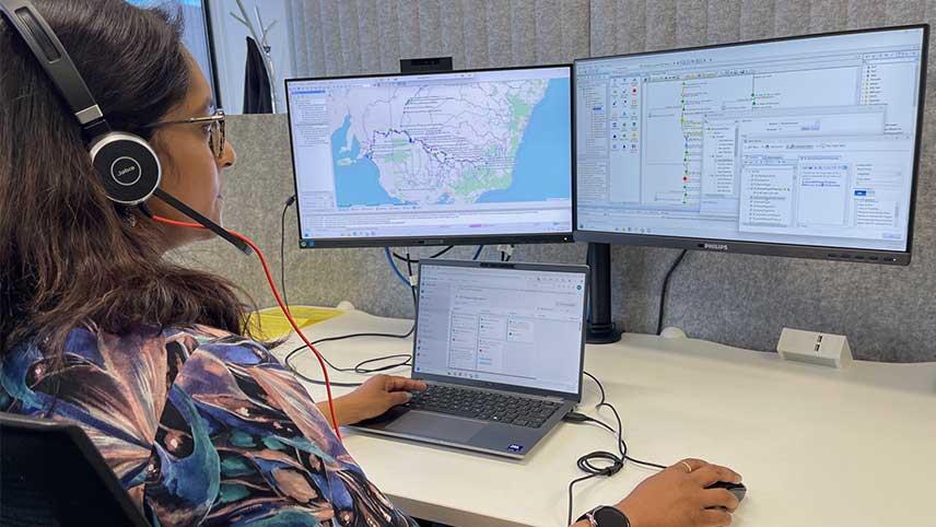
A common way to track the water is through computer models. With over 35 river catchments spanning 5 jurisdictions across the Murray–Darling Basin, it’s hard to get one set of river models to talk to another. This is simply because water management in Australia has changed over time.
Alistair Korn, Senior Hydrological Modeller at the Murray–Darling Basin Authority (MDBA), is working to solve this dilemma.
“The more catchments, the more complex it is to bring the river models together and understand how decisions in one catchment impacts other catchments,” Alistair said.
“For years, jurisdictions and agencies saw a need for a better system of water model integration. We identified this should involve a shared place – a hub – to store the models, a common software 'language' for all the models, and a tool for the models to 'talk' to each other.
In 2022, we established the Integrated River Modelling Uplift (IRMU) program. It will upgrade river models and software, making it easier for river models to work together across the Basin.
Tim Peters, the Program Director of IRMU, explained the program overcomes some of the long-standing challenges for water management.
“We’re helping river modelling experts with a more streamlined approach to their work,” Tim said.
“This is about more than just upgrading the technology that modellers use. It's about making it easier for experts to collaborate when using the models.
“We're working closely with jurisdictions to find out what modelling information they need and how they want to use it.
"Last year we created a cloud-based hub that all the jurisdictions will be able to access and use to store their river models. Basin jurisdictions can now start moving their models into the preferred software.
“With so many river catchments and models in the Basin, it can be tricky for these models to work together. That’s why we're developing software that links these river models and lets the water experts track water movement across the Basin.
“All Basin jurisdictions are now able to access the hub, and we're rolling out training to ensure it's a smooth transition to a different way of working.
“The hub allows for real-time sharing of river models and data. It will be a more streamlined approach to run these connected river system models – even when they cross state or territory borders.
"We can also download the results as maps or graphs, so we can share with policy experts and decision-makers.
“To me, this unified approach reflects a huge collaboration effort across the MDBA and our partners.
“This will help us support all Basin communities, industries and our environment. Not to mention the millions of Australians who rely on the Basin's agriculture for food.”

Alistair noted the strong, ongoing impacts of this work.
“As the river models connect to the system, we should be able to simulate water scenarios more efficiently,” Alistair said.
“It’s transforming how we collaborate and share and use data across the Basin.
“Next steps are to use this system early next year to investigate topics such as the impact of different climate scenarios in the Basin.
We're making sure the hub and the models on it are going to be ready for the 2026 Basin Plan Review.
– Alistair Korn, Senior Hydrological Modeller
“With more water modellers joining the hub and accessing the new modelling software, our teams will keep running tests. By adding more types of data, we aim to improve and develop the software even further.
“This work is really encouraging greater collaboration between jurisdictions and building trust. A deeper understanding of how catchments interact helps everyone to make more informed decisions.”