The Bureau of Meteorology (BoM) has released the final version of the Murray–Darling Basin Water Information Portal, which includes:
- Cultural information for the Gomeroi / Kamilaroi nations, including recordings of Elders recalling their experiences growing up on missions, their connection to Country, and the important role waterways play in creating their sense of identity.
- More river diagrams so the entire Basin is now presented, as well as a whole-of-Basin diagram.
- Annual actual water take information (prepared as part of the MDBA's Water Take Report).
These features complete the Murray–Darling Basin Water Information Portal, which brings together information about water availability, water in storages, groundwater, streamflow, allocation volumes, water take, water markets, and water quality.
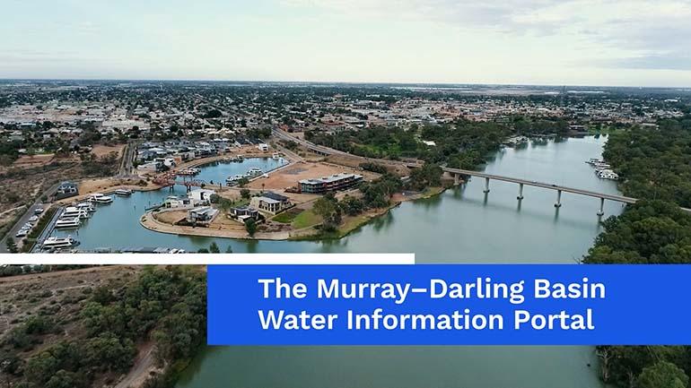
It presents this information through interactive river diagrams for the entire Basin and photographs of rivers, storage infrastructure and significant locations.
The portal provides improved transparency and more timely and efficient access to water information to support water users across the Basin. It is designed to meet the needs of Basin communities, including local councils, tourism, agricultural and other local businesses, recreational water users, educators and First Nations people.
The BoM developed the portal via the collaborative efforts of the Hydrometric Networks and Remote Sensing Program (HNRSP). The HNRSP is a $35 million package of works to provide water licence holders, compliance officers and the public with better access to more accurate information and allow for more robust and consistent assessment of water use and compliance in the northern Basin.